Arrelles (French pronunciation: [aʁɛl]) is a commune in the Aube department in the Grand Est region of northern-central France.
Geography
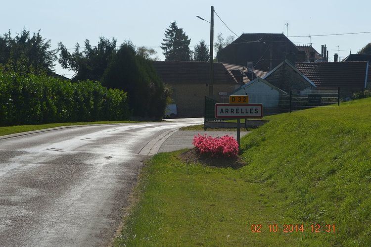
Arrelles is located some 25 km south-east of Troyes and 15 km east of Chaource. Access to the commune is by the D36 road from Lantages in the north-west passing through the village and continuing east to Polisy. There is also the D32 road from the village to Avirey-Lingey in the south and the D84 from the village south-west to Balnot-la-Grange. East of the village is heavily forested and there are also forests in the south-west with the rest of the commune farmland.
The Sarce river flows through the centre of the commune and the village from south to north then north-east forming the border of the commune and continuing north to join the Seine at Virey-sous-Bar.
Neighbouring communes and villages
Administration
List of Successive Mayors
Population
The inhabitants of the commune are known as Arrellois or Arrelloises in French.
Sites and monuments
The Church of Saint-Pierre-ès-Liens was rebuilt in 1825 based on a plan with a square choir from the 12th century and a double transept from the 16th century. The nave and bell tower porch are from the 19th century. There are many items in the church which are registered as historical objects:
See also
- Communes of the Aube department
External links
- Arrelles on the National Geographic Institute website (in French)
- Arrelles on Géoportail, National Geographic Institute (IGN) website (in French)
- Arelles on the 1750 Cassini Map
References